Mount Hayes
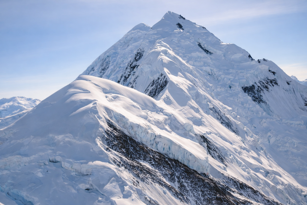
Mount Hayes rises to 13,832 feet and is the highest peak in the eastern Alaska Range, sitting well off the main Denali corridor in a much quieter and less-visited part of the state. It’s located south of Delta Junction and north of the Denali Highway, but even with roads nearby, it still feels distant and hard to fully see.
What makes Mount Hayes stand out is how hidden it is. It’s often surrounded by lower peaks and rolling terrain that block clear views, so you don’t get that immediate, dramatic reveal like you do with Denali. When it does come into view on a clear day, it appears broad, snow-covered, and steady rather than sharp or towering.
The mountain is heavily glaciated, with ice flowing down into surrounding valleys and feeding into river systems in the region. Like much of the Alaska Range, it’s shaped as much by ice as it is by elevation, and the terrain around it feels rugged but less dramatic at first glance.
Access is limited, and most people never get close to Mount Hayes. It’s occasionally seen from parts of the Richardson Highway or from more remote backcountry routes, but it’s not a typical destination. That lack of access is part of what keeps it feeling untouched.
Climbing Mount Hayes is rare and considered difficult, mostly because of its remoteness and the lack of established routes compared to more well-known peaks. It doesn’t draw the same attention as Denali or Foraker, but it still requires serious planning and experience.
Mount Hayes isn’t about being the most dramatic or the most photographed. It’s about being quiet, remote, and part of a section of the Alaska Range that most people never really see.