
Mount Churchill
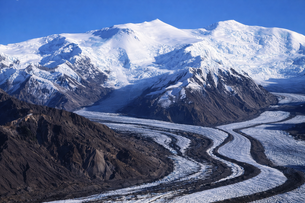
Mount Churchill rises to 15,638 feet in the Wrangell Mountains of eastern Alaska, sitting close to Mount Bona in a remote, heavily glaciated part of the state. Like much of this region, it’s not a sharp, jagged peak — it’s broad, ice-covered, and part of a larger volcanic landscape that feels more like an icefield than a single mountain.
Churchill is a dormant volcano, but it’s best known for a massive eruption that happened around 1,200 years ago. That eruption created the White River Ash, a layer of volcanic ash that spread across huge parts of Alaska and into Canada. You can still find evidence of it today in soil layers across the region, which gives you an idea of just how powerful it was.
The mountain itself is covered in snow and ice, with glaciers flowing down its slopes and connecting into larger ice systems around Mount Bona. From most angles, it blends into the surrounding terrain, but its size becomes more obvious when you see it from the air.
This is not an easy place to get to. There are no direct roads or simple access points, and most people only see Mount Churchill from a distance or during flightseeing trips over the Wrangell Mountains. That remoteness is a big part of what defines it.
Climbing Mount Churchill is uncommon and requires serious planning due to its location, glaciated terrain, and changing weather conditions. It’s not a frequently attempted peak, even among experienced climbers.
Mount Churchill doesn’t stand out because of a dramatic shape or easy visibility. It stands out because of its history, its scale, and the fact that it sits in one of the most remote and powerful volcanic landscapes in Alaska.