
Mount Bona
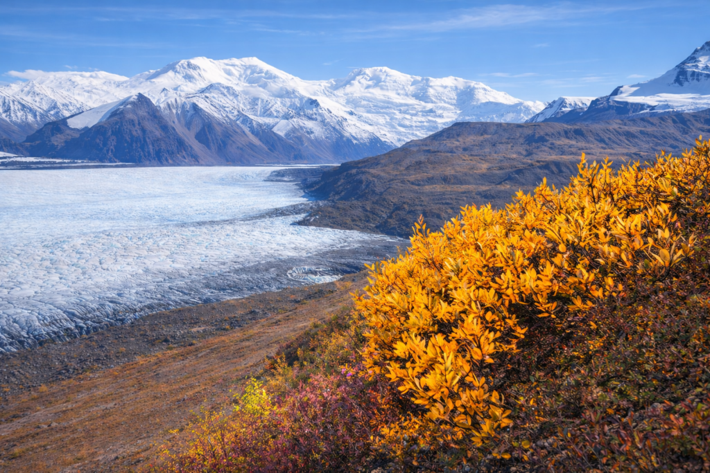
Mount Bona rises to 16,550 feet in the eastern Alaska Range and is one of the highest volcanoes in the United States. It sits within Wrangell–St. Elias National Park and Preserve, in a remote stretch of mountains where glaciers and icefields dominate the landscape.
Unlike the sharp, jagged peaks of the central Alaska Range, Mount Bona is broad and heavily covered in ice. It doesn’t look like a classic cone-shaped volcano — instead, it spreads out under thick glacial coverage, with long ridges and wide snowfields that give it a massive, quiet presence.
The mountain is part of the Wrangell volcanic field and is considered dormant. Its volcanic origins are still there beneath the ice, but what you see today is shaped mostly by glaciers. Huge ice systems flow off the mountain, feeding into surrounding valleys and rivers.
This is a remote part of Alaska, and most people never see Mount Bona from the ground. It’s best viewed from the air, where you can see just how wide and ice-covered it really is. From a distance, it blends into the surrounding peaks, but once you’re closer, the scale becomes obvious.
Climbing Mount Bona is still a serious undertaking, but it’s considered one of the more approachable high peaks in Alaska compared to others in its elevation range. Routes are long and glaciated, and weather conditions can shift quickly, but it doesn’t have the same steep technical difficulty as peaks like Mount Hunter.
Mount Bona isn’t dramatic in shape, but it stands out in size and setting. It’s part of a landscape that feels more like an icefield than a single mountain, and that’s what makes it different from the rest of the Alaska Range.